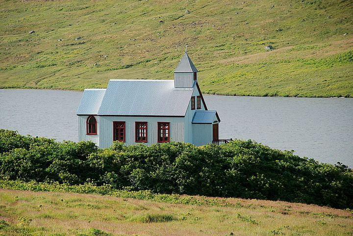
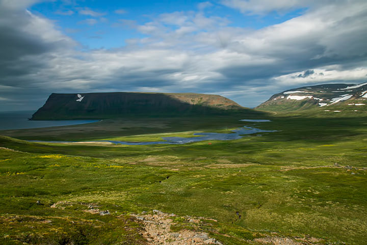
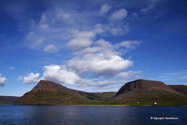
Aðalvík is on Hornstrandir, next north of Ísafjarðardjúp, between Ritur and Straumnes. It is 6-7 km wide, but a little longer. The mountains on both sides are sea steep, but some lowland is at the bottom of the bay with a sandy beach. It is split by the mountains, which divide it into three and it is obstructed to go between them. Yzt to the south is a small valley, Skaladalur. There was a former outcast and a centre. Up of Aðalvík walk four valleys, Syðstur is Staðardalur. Below him is Saebol. There was an indicator to a village with about 70 inhabitants, when most were. Inside the valley was the priest's placeLocality.
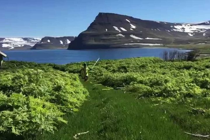
Then is Thverdalur, and there was the same name town out of him afterwards is Miðvík. There were two towns, and Nyrzt is Stakkadalur, before with several farms. Great sand is with the sea, which is now very taken to heal. To the south of the valley is called Kleifarháls. Under him the name of Teigar. there is the sandworm siphon by the sea and took a ship there former ice to cool with fish.
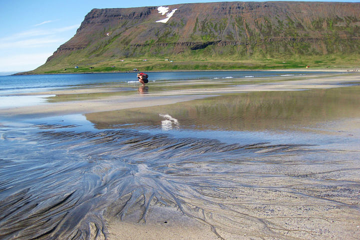
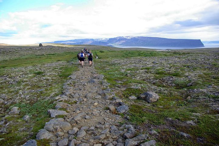
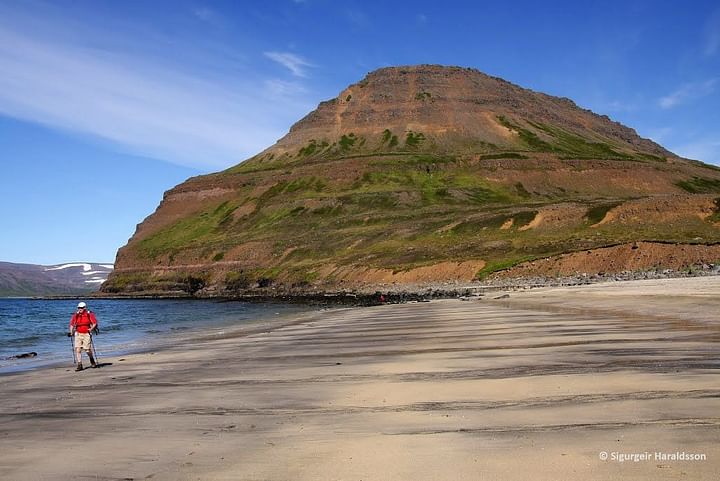
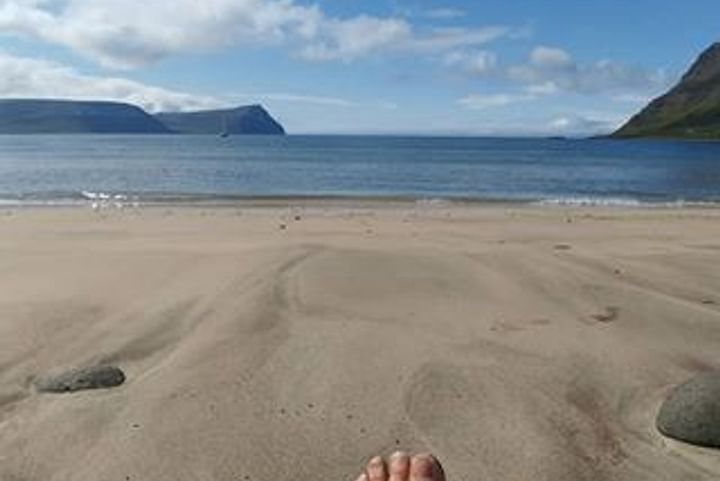
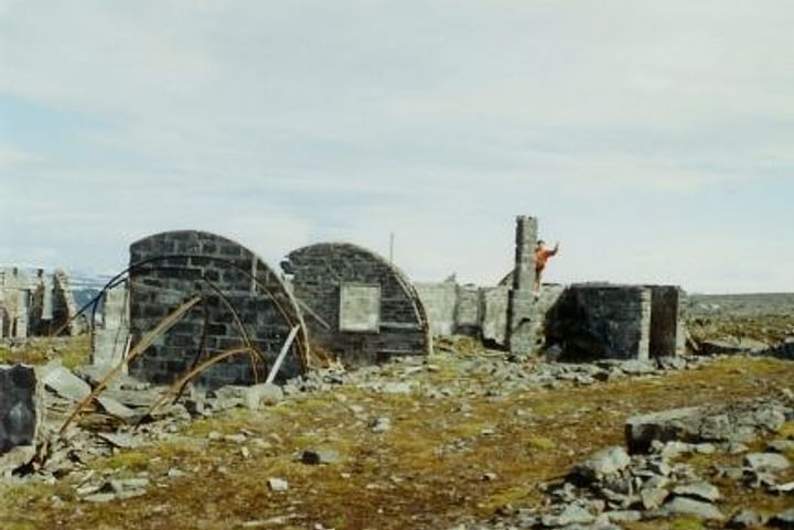
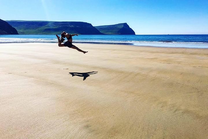
The northernmost of the bay floor is Látrar. There rose a village in the early century and there were inhabitants there 80-100, when most. There is a shipwreck shelter. There is a short distance from there to Rekavík. Sæból was built by the west cove, where there lived up to 80 people. There are still many houses in these abandoned settlements, which are the descendants of the population hold and use in the summer. Landings can be difficult in Aðalvík, provided before the open sea but there was a short distance to fishermen. There are many grassy and good meadows, but very much vegetation has taken place since the settlement was destroyed. Aðalvík is now all deserted and has been so since 1952.
Welcome to Aðalvík